Search
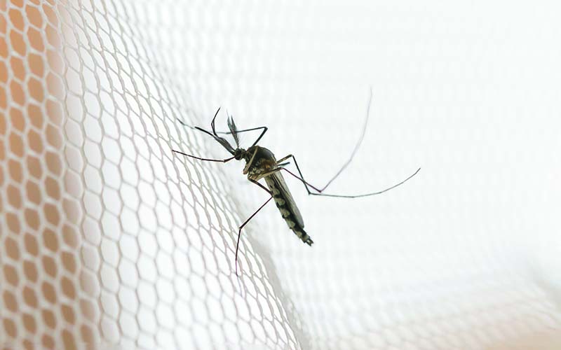
In recent decades, field and semi-field studies of malaria transmission have gathered geographic-specific information about mosquito ecology, behaviour and their sensitivity to interventions. Mathematical models of malaria transmission can incorporate such data to infer the likely impact of vector control interventions and hence guide malaria control strategies in various geographies.
Global efforts led by The Kids Research Institute Australia’s Child Health Analytics program will see nations impacted by high rates of malaria empowered to develop their own controls and solutions.
In malaria epidemiology, interpolation frameworks based on available observations are critical for policy decisions and interpreting disease burden. Updating our understanding of the empirical evidence across different populations, settings, and timeframes is crucial to improving inference for supporting public health.
Current malaria elimination targets must withstand a colossal challenge-resistance to the current gold standard antimalarial drug, namely artemisinin derivatives. If artemisinin resistance significantly expands to Africa or India, cases and malaria-related deaths are set to increase substantially.
The rising burden of mosquito-borne diseases in Europe extends beyond urban areas, encompassing rural and semi-urban regions near managed and natural wetlands evidenced by recent outbreaks of Usutu and West Nile viruses. While wetland management policies focus on biodiversity and ecosystem services, few studies explore the impact on mosquito vectors.
The World Health Organization recommends perennial malaria chemoprevention (PMC), generally using sulfadoxine-pyrimethamine (SP) to children at high risk of severe Plasmodium falciparum malaria. Currently, PMC is given up to age two in perennial transmission settings. However, no recommendation exists for perennial settings with seasonal variation in transmission intensity, recently categorized as 'sub-perennial'.
Climatic conditions are a key determinant of malaria transmission intensity, through their impacts on both the parasite and its mosquito vectors. Mathematical models relating climatic conditions to malaria transmission can be used to develop spatial maps of climatic suitability for malaria. These maps underpin efforts to quantify the distribution and burden of malaria in humans, enabling improved monitoring and control.
Malaria incidence (MI) has significantly declined in Nepal, and this study aimed to investigate the spatiotemporal distribution and drivers of MI at the ward level. Data for malaria cases were obtained from the National Surveillance System from 2013 to 2021. Data for covariates, including annual mean temperature, annual mean precipitation, and distance to the nearest city, were obtained from publicly available sources. A Bayesian spatial model was used to identify factors associated with the spatial distribution of MI.
Knowing when and where infected mosquitoes bite is required for estimating accurate measures of malaria risk, assessing outdoor exposure, and designing intervention strategies. This study combines secondary analyses of a human behaviour survey and an entomological survey carried out in the same area to estimate human exposure to malaria-infected Anopheles mosquitoes throughout the night in rural villages in south-eastern Tanzania.
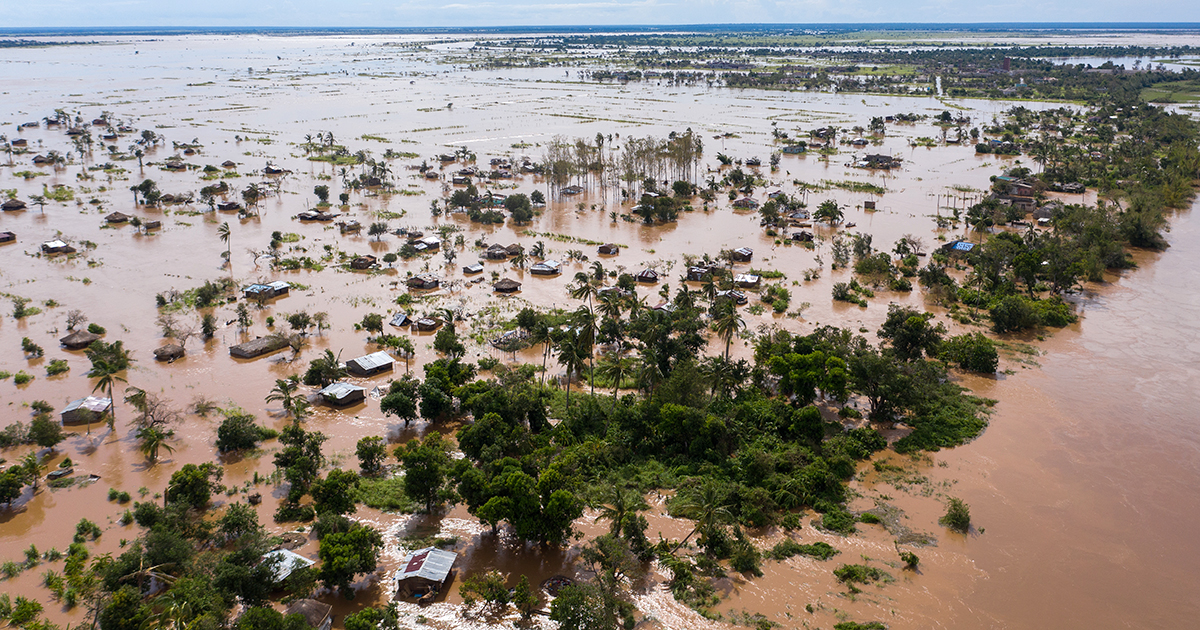
World-first research from The Kids Research Institute Australia and Curtin University predicts climate change could trigger more than 100 million additional malaria cases and 500,000 additional deaths in Africa by 2050, including substantial impacts on children.